About Story Geomatics
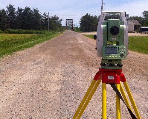
Story Geomatics offers a wide range of surveying services to its clients. From title searches to aerial data acquisition, our strong technical and professional capabilities will ensure the precision and integrity of your project.
Our Services
Agriculture
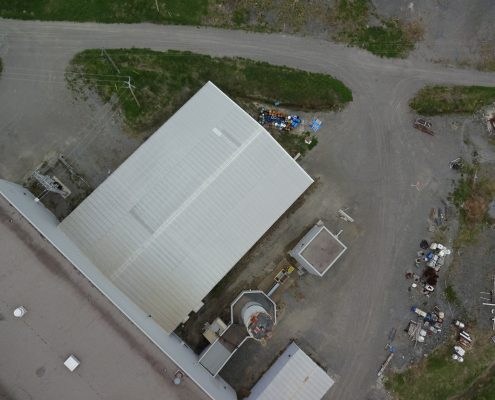
With two fully licensed UAV pilots and a Sensefly eBee, Story Geomatics is able to cover hundreds of acres in a single flight, without the cost and hassle of manned services.
- Crop scouting
- Elevation modeling
- Plant counting
- Soil property & moisture analysis
- Crop health/stress analysis
- Erosion analysis
- Normalized Difference Vegetation Index (NDVI) imagery
Mining and Industrial
Story Geomatics has the technology and expertise to collect large accurate data sets in a manner that is both cost effective and timely.
- Pit and dump management
- Oblique imagery
- Topographic survey
- Stock pile management
- Precise position (infrastructure, boreholes, monitoring wells, etc.)
- Mapping overlays/Custom GIS
- Orthomosaic aerial imagery
- Vegetation surveys
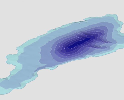
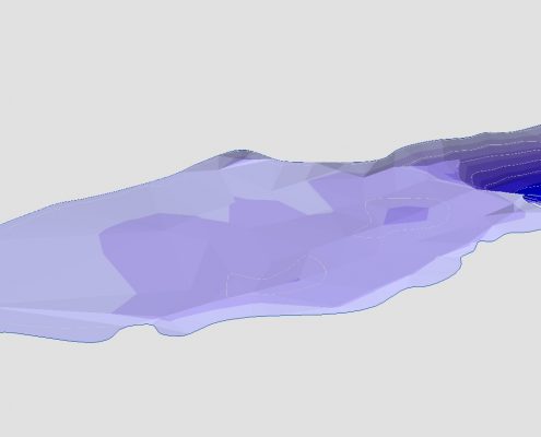
- Bathymetry
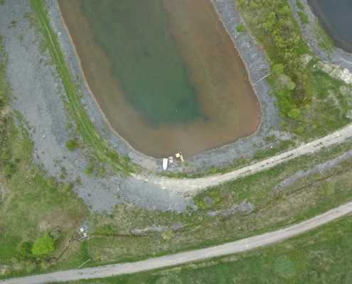
- Tailings dam management
- Ownership/Title search
Municipal
Whatever your municipality requires, Story Geomatics has the knowledge and expertise to deliver a professional and robust final product.
- Pre-engineering surveys for design
- Lot grading
- Drainage

